


Tanzania unveils strategic maps to navigate natural disaster risks

THE government has launched a new mapping system designed to pinpoint disaster-prone areas across its regions and localities. This initiative marks a significant step in the nation's broader efforts to bolster disaster preparedness and response, particularly in the face of escalating climate change impacts.
The revelation came from Dr Jim Yonazi, Permanent Secretary in the Prime Minister’s Office – Policy, Parliament, and Coordination, during a high-level meeting of the National Technical Committee on Disaster Management held in Dar es Salaam over the weekend.
The committee convened to deliberate on crucial strategic tools, including the new Disaster Risk Mapping System, guidelines for its utilization, the National Disaster Risk Financing Strategy, and refined procedures for disbursing humanitarian aid funds.
Dr Yonazi emphasised the government’s unwavering commitment to implementing targeted strategies that empower Tanzanian communities to prevent, prepare for, and effectively respond to various disasters.
“This system features detailed maps that indicate potential disaster risks across different regions and localities,” Dr Yonazi stated. “It is designed to support all sectors, regions, and local government authorities in formulating and executing effective disaster risk management strategies in their respective areas.”
He added that the data presented in these maps will serve as a vital guide for stakeholders, enabling informed decision-making when planning and implementing development initiatives, including critical land use and infrastructure projects.
“The mapping system will also help strengthen our capacity to respond to disasters at both national and international levels,” he noted.
During the meeting, the National Technical Committee also approved a series of comprehensive disaster management guidelines. Dr Yonazi indicated that these guidelines would be implemented in partnership with a broad spectrum of national and international stakeholders.
He further highlighted that the committee comprises permanent secretaries and heads of institutions involved in disaster management, all sharing the common goal of ensuring the adopted guidelines are integrated across all sectors and rigorously enforced.
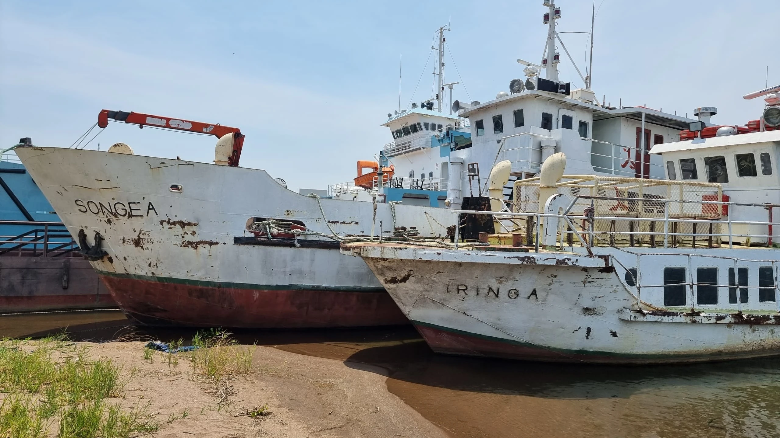
Prof. Riziki Shemdoe, Permanent Secretary in the Ministry of Livestock and Fisheries, underscored the pivotal role the new mapping system will play in assisting the livestock and fisheries sectors to adapt to climate change impacts.
“With the help of these maps, we’ll be able to better plan for livestock and fishing activities by identifying areas that are less vulnerable to risks such as drought, flooding, and soil erosion,” Prof. Shemdoe explained.
“These tools will provide critical information for zoning and planning purposes—including pasture lands, water infrastructure, and areas for livestock grazing—helping us mitigate the risks brought by climate variability.”
The launch of these strategic maps is poised to significantly enhance Tanzania's resilience against natural disasters, providing a data-driven approach to safeguarding communities and development gains.
Top Headlines
Trending Stories


© 2025 IPPMEDIA.COM. ALL RIGHTS RESERVED