


Strategies implemented to continue tackling disasters in the country

THE government has developed a system featuring maps that identify areas at risk of disasters across various regions and localities, aimed at establishing effective response strategies when such events occur.
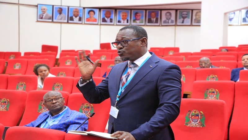
Dr Jim Yonazi, Permanent Secretary in the Prime Minister’s Office – Policy, Parliament, and Coordination, during a meeting of the National Technical Committee for Disaster Management. The meeting focused on discussing the Disaster Risk Mapping System, the Guidelines for Using Disaster Risk Maps in the country, the National Strategy for Disaster Risk Financing, and the Guidelines for Disbursing Humanitarian Aid Funds.
Dr Yonazi stated that Tanzania continues to implement targeted strategies to ensure communities are equipped to prevent disasters and are well-prepared to manage those linked to climate change.
“The government has developed a specialised system with various maps displaying disaster risk indicators across different regions and localities. This system assists all sectors, regions, and local authorities in planning and implementing effective strategies to manage disaster risks in their areas,” he explained. He added that the risk data from these maps will support stakeholders in planning and executing development projects, including land use planning.
He further noted, “This system will help us build resilience in managing disasters both domestically and internationally.”
Dr Yonazi also highlighted that the National Committee approved several guidelines for disaster management, which will be implemented collaboratively with national and international partners.
The meeting involved members of the National Technical Committee for Disaster Management, including Permanent Secretaries and heads of institutions responsible for disaster management.
According to Dr Yonazi, the objective is to ensure these guidelines are reviewed, adopted across all sectors, and monitored to guarantee effective implementation.
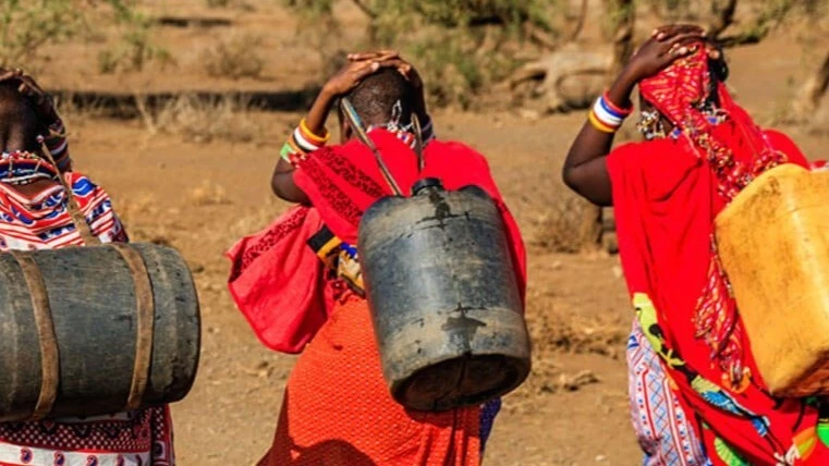
Meanwhile, Prof. Riziki Shemdoe, Permanent Secretary in the Ministry of Livestock and Fisheries, emphasised that the maps will play a significant role in helping the livestock and fisheries sectors cope with the effects of climate change.
He explained that the maps enable the country to designate areas for fishing and livestock keeping more effectively, focusing on locations less prone to disasters such as droughts, floods, or soil erosion.
“These maps will help identify areas vulnerable to climate change, supporting the planning of livestock zones, grazing areas, and water infrastructure,” he said.
Top Headlines
Trending Stories


© 2025 IPPMEDIA.COM. ALL RIGHTS RESERVED